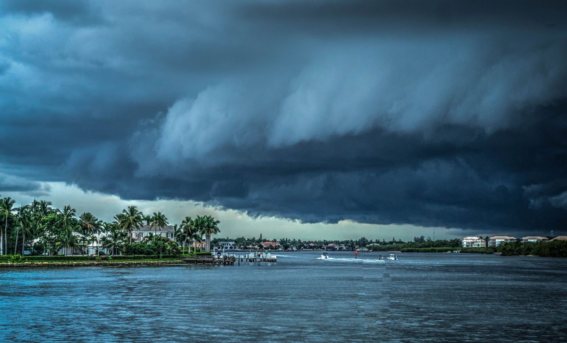
A tropical wave currently near the Greater Antilles is showing signs of potential development into Tropical Storm Debby.
The National Hurricane Center (NHC) and various meteorological models are tracking this system as it moves towards the Gulf of Mexico or the waters near Florida. The system's progression could significantly impact weather patterns in the southeastern United States.
Current Situation and Forecast
The tropical disturbance, located approximately 1800 miles from New Orleans, has recently shown an increase in storm activity, indicating potential organization into a more structured system.
Initially, this wave struggled with dry air and Saharan dust, which inhibited its development. However, the system is now exhibiting more sustained thunderstorm activity, suggesting that it is beginning to overcome these challenges. This development is crucial as it moves over warm sea surface temperatures, which are necessary for the system's growth.
Immediate Outlook (Next 24-48 Hours)
In the next 24-48 hours, the system is expected to continue its westward movement, potentially organizing into a tropical depression.
The Global Forecast System (GFS) and European Center for Medium Range Weather Forecasting (ECMWF) models indicate a high likelihood of development as the system encounters more favorable environmental conditions, including warm waters and low wind shear.
The National Hurricane Center has assigned a 60% chance of tropical development during this period, highlighting the importance of closely monitoring the situation.
Factors Influencing Development
Several critical factors are influencing the potential development and trajectory of this tropical wave:
Sea Surface Temperatures: The waters in the Caribbean and Gulf of Mexico are currently warm, exceeding 80°F (27°C), which is favorable for tropical cyclone development. Warm waters provide the energy necessary for the system to strengthen.
Wind Shear: Low wind shear in the region is another factor that supports development. Wind shear can disrupt the organization of a tropical system, but current conditions are conducive to development.
Dry Air and Saharan Dust: Initially, these factors posed challenges to the system's development. However, recent increases in thunderstorm activity suggest that the system is beginning to moisten its environment, reducing the impact of dry air and dust.
Medium-Term Forecast (3-5 Days)
As the system moves towards the weekend, it is projected to approach the eastern Gulf of Mexico or the Atlantic waters near Florida. The ECMWF and GFS models are aligning on a westward track, influenced by the Bermuda High.
This high-pressure system could steer the developing storm towards the Gulf, where conditions could further support its intensification into a tropical storm. The potential track includes interactions with landmasses such as Hispaniola and Cuba, which could temporarily disrupt the system's organization.
The system could bring significant rainfall and gusty winds to these areas, even if it does not fully develop into a tropical storm. This rainfall could lead to localized flooding, especially in low-lying areas.
Long-Term Forecast (5-7 Days)
Looking further ahead, the forecast becomes more uncertain. The system's path will largely depend on the behavior of the Bermuda High and the extent of its interaction with the southeastern U.S. coast.
The ECMWF and GFS models suggest that the system could either move into the eastern Gulf of Mexico, potentially affecting the Florida Panhandle, or remain closer to the Atlantic coast of Florida. This uncertainty makes it crucial for residents in these regions to stay informed and prepared.
Potential Impacts and Preparedness
As of now, there is an increasing likelihood of enhanced rainfall in Florida starting this weekend and continuing into early next week. This potential rainfall could occur regardless of whether the system fully develops into a tropical storm. The NHC has indicated a significant chance of development, underscoring the need for residents in the potential impact areas to stay updated on the situation.
The coming weeks are also a critical period in the Atlantic hurricane season, with August, September, and October being the peak months for tropical storm activity. These months typically see a combination of warm ocean temperatures, reduced wind shear, and increased atmospheric moisture, all of which are conducive to the development and strengthening of tropical systems.
Residents along the Gulf Coast, particularly in areas such as Florida, Alabama, Mississippi, and Louisiana, are advised to monitor updates from the National Hurricane Center and local meteorological services.
Preparedness measures, including securing property, planning for potential evacuations, and staying informed about local emergency services, are recommended as the system's development is closely watched.


